Every building, measured from the air
We turn a whole municipality into a register of its buildings: every outline drawn, every floor counted, every area calculated.

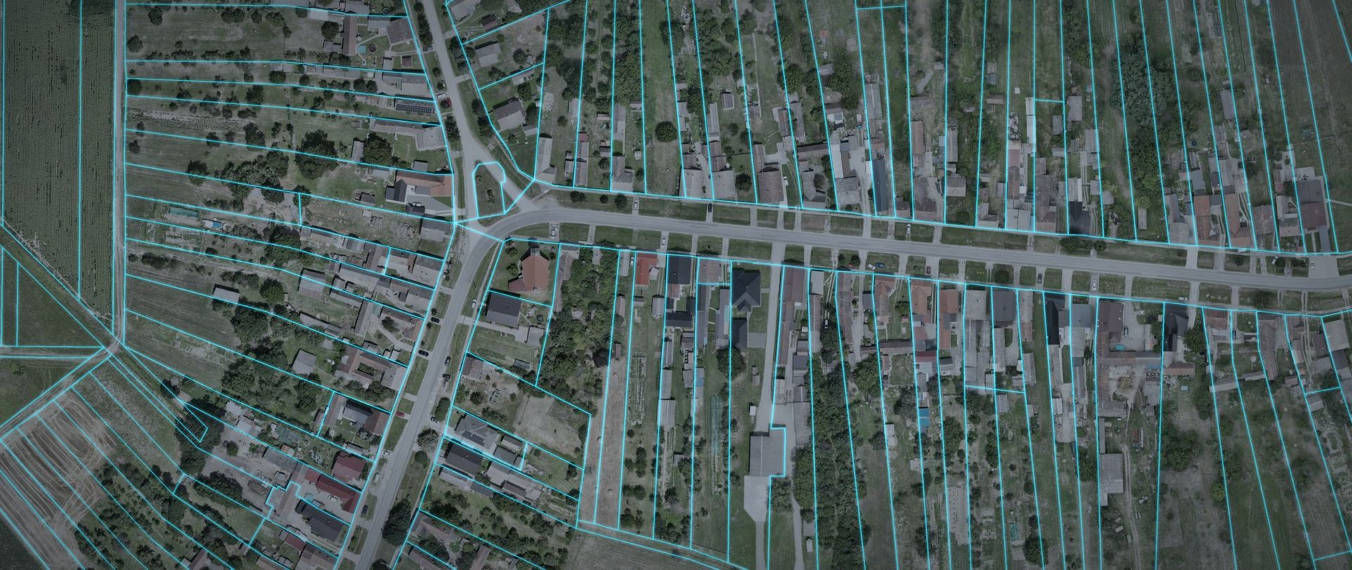
We turn a whole municipality into a register of its buildings: every outline drawn, every floor counted, every area calculated.
A register is only as good as the imagery behind it. We fly our own orthophoto and spherical panoramas over every settlement, so each building is drawn from what is actually there.
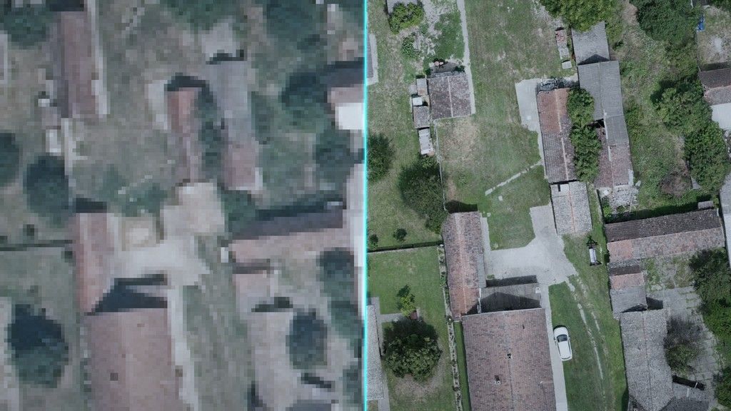
Public orthophotos are too coarse to outline a building with confidence. Ours is flown for the job, sharp enough to trace extensions, garages and sheds.
On the left, the public orthophoto. On the right, ours, of the same spot.
Our aerial panoramas show every property from all sides. From these a person records how many floors each building has and what each part is used for.
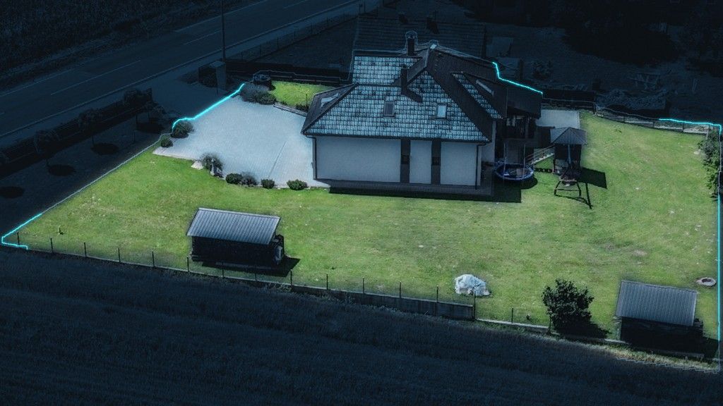
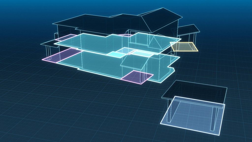
Each building is drawn space by space and floor by floor: living space, business premises, garages, loggias, terraces, storage, basements and attics. Every space has its own area, and the building total adds up from them.
Each building is drawn by one person and checked by another, who corrects it before delivery.
Each building carries its official address and parcel number, taken from the address register.
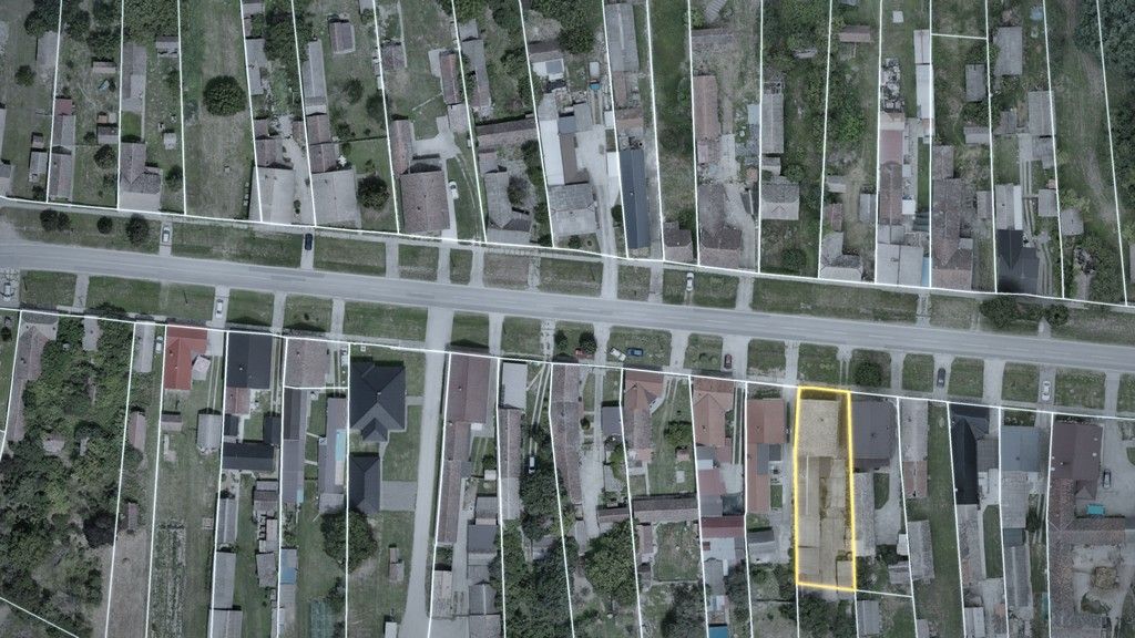
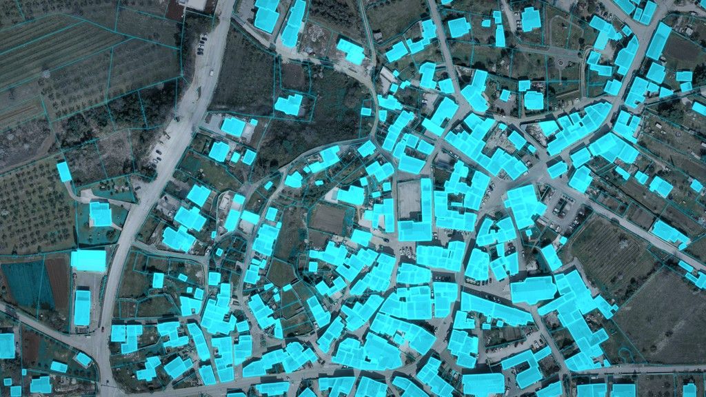
Every building arrives in your GIS with its spaces, photos, parcel and address, ready to open from the map.
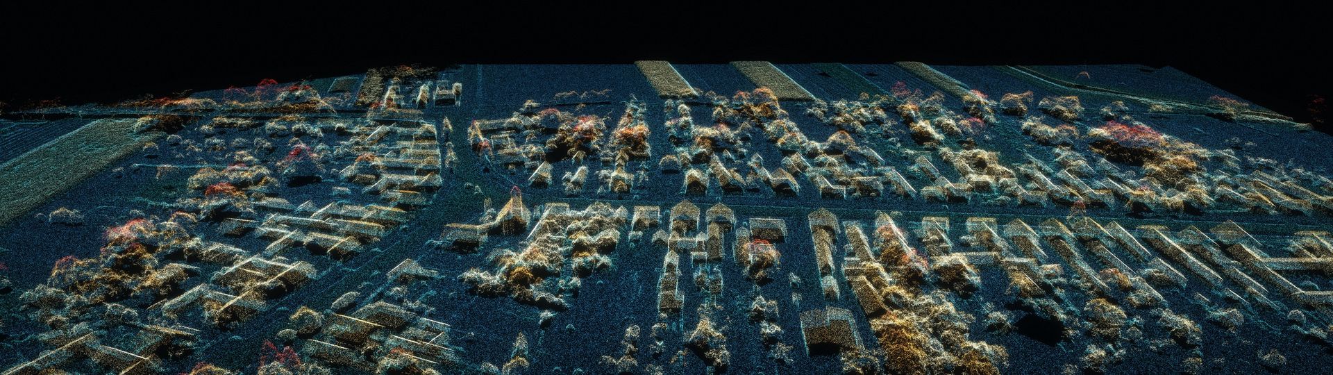
If your question can be answered with standard tools, plenty of firms can help. If it can’t, talk to us.
CONTACT
Kukuljanovo 182/2
Bakar industrial zone
HR-51227 Kukuljanovo
CROATIA